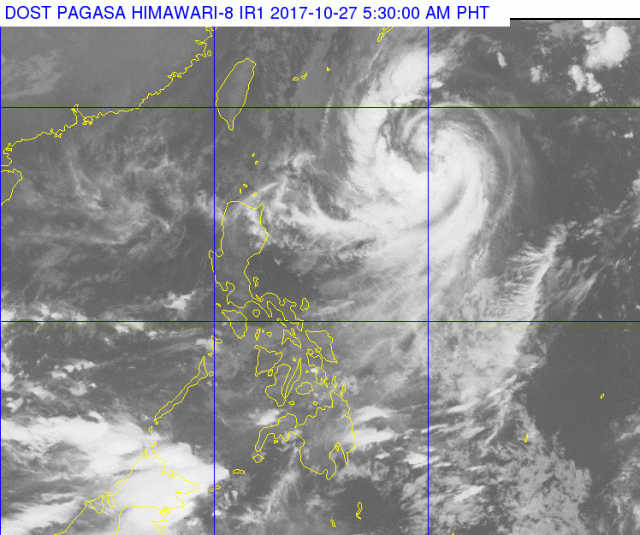
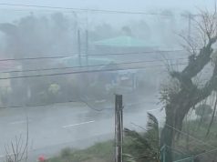
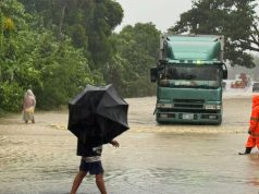
MANILA, Philippines — It will be mostly scattered rains, occasionally turning heavy, on Friday as the Intertropical Convergence Zone continues to affect Mindanao and severe tropical storm “Quedan” continues to move away from the country.
Early Friday morning, Quedan was last tracked 915 kilometers east of Basco, Batanas packing maximum sustained winds of 90 kilometers per hour near the center with gusts of up to 115 kph and forecast to move north-northwest at 21 kph.
The ITCZ will bring cloudy skies with scattered rains and thunderstorms to the Zamboanga Peninsula, Northern Mindanao, and Caraga regions, and Palawan province, although heavy rains accompanied by lightning could break out occasionally.
The Ilocos, Cagayan Valley and Cordillera regions can expect isolated rains while Metro Manila and the rest of the country are forecast to have isolated rain showers and thunderstorms, occasionally becoming heavy with lightning.
Seas around Luzon and the Visayas will be moderate to rough and slight to moderate off Mindanao.


