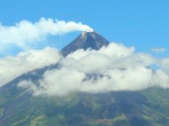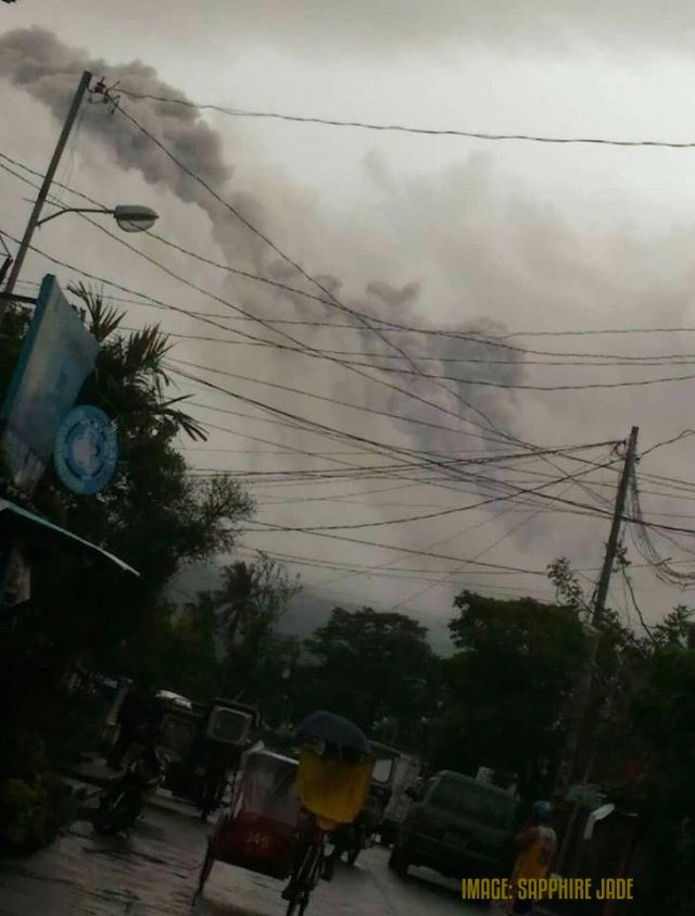
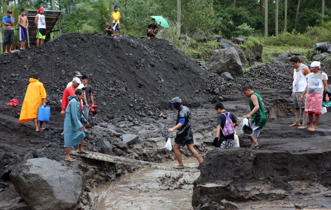
Rainy weather over the past couple of days have rendered conditions difficult in places downslope of the erupting Mayon Volcano.
On Saturday, Phivolcs Director Renato Solidum was reported to have indicated that lahar flows were observed down Miisi and Anuling channels.
Lahar is essentially flowing mud and volcanic debris that is a slurry of pyroclastic material, ash, sand and sediments and rocky debris, and water from the rain coursing down the flanks of sloping ground.
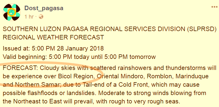
(Below) Animated loop snapshots of cloud movement over PH archipelago, c/o NOAA-MTSAT

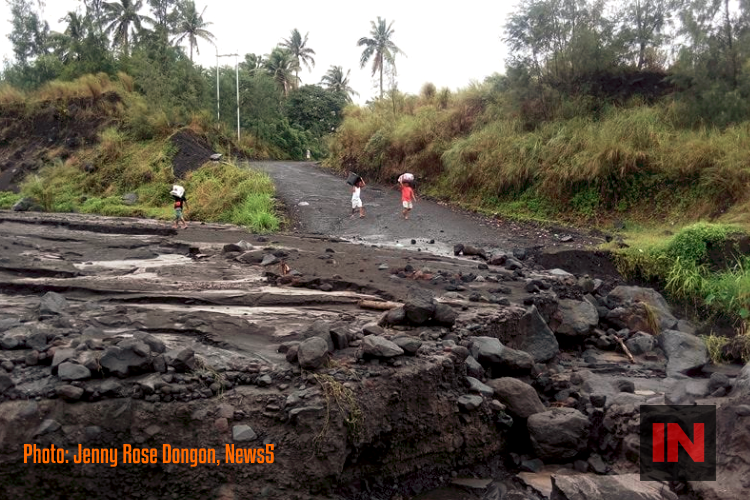
Roads have been upended in places like Barangay Maninila in Guinobatan, Albay, as well as in Daraga, site of a well-known church tower jutting out of the ground covered in a past eruption.
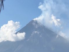
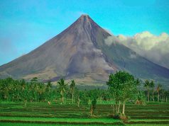
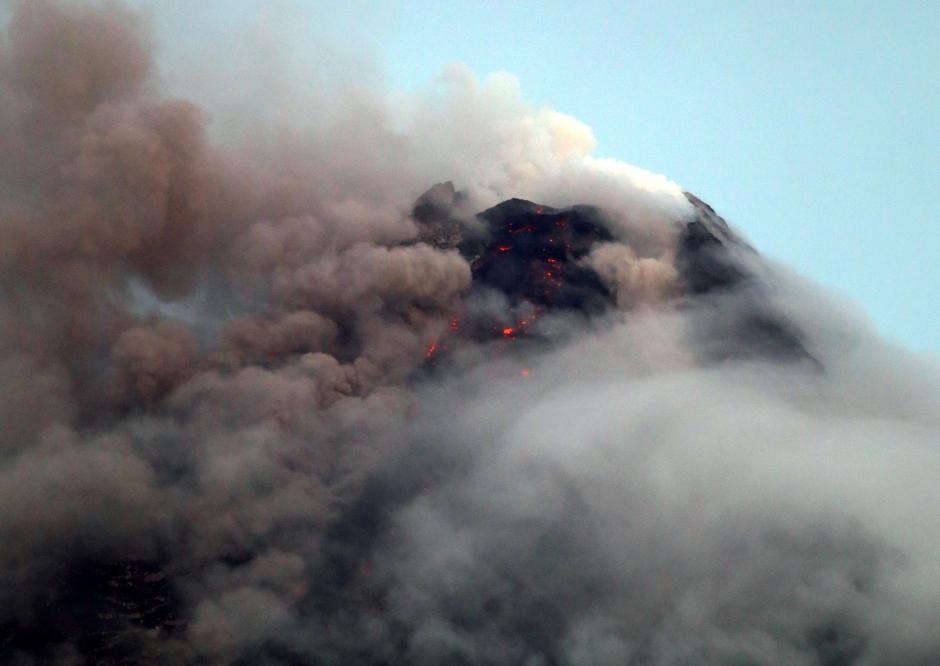
Mt. Mayon has been in a restive phase, spewing ash, steam and molten material for well over a week, and in seemingly intensifying fashion by the day.
Heavy rainfall throughout Saturday generated sediment-laden streamflows in channels draining the volcano edifice.
After each rainy spell, the lahar that has mobilized tend to solidify in place, creating new microdams to the flow and drainage of water.
Click and watch this extended video clip below, from News5 reporter Mon Gualvez:
The intermittent rainy spells, which have not stopped over the last couple of days, have rendered vehicular traffic difficult, at best, with rock and boulder slides and mudslides punctuating the roads near the volcano.
Some of the rockfalls have added obstructions of stream channels and gullies, effectively aggravating the risk of flooding and overflow of constricted channels.
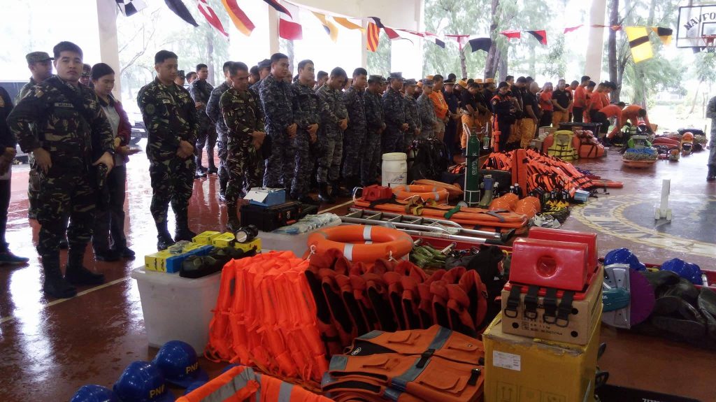
The Office of Civil Defense has organized brigades of disaster response teams, ready to scramble into action when needed.
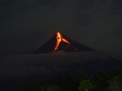
Between 06:22 p.m. Saturday and 01:40 a.m. Sunday, the Philippine Institute of Volcanology and Seismology (Phivolcs) reported, two episodes of sporadic lava occurred, fountaining from the summit crater for 23 minutes and 55 minutes, respectively.
“The events fed lava flows on the Miisi and Bonga Gullies, sprayed near-vent lava spatter, and fed rockfall on the summit area.
“In between the lava fountaining episodes, lava effusion continued to feed lava flows on the Bonga and Miisi Gullies.
“Four volcanic earthquakes, seven tremor events, two of which correspond to the lava fountaining events, 23 rockfall events were recorded by Mayon’s seismic monitoring network.
“Rockfall events were generated by the collapsing lava front and margins of the advancing lava flow on the Bonga and Miisi Gullies.
“Currently, the Miisi and Bonga lava flows have maintained their advance to three and 1.8 kilometers, respectively, from the summit crater.
“Sulfur dioxide gas emission was measured at an average of 1,916 tonnes/day on 25 January 2018. Electronic tilt and continuous GPS measurements indicate a sustained swelling or inflation of the edifice since November and October 2017, consistent with pressurization by magmatic intrusion.
“Alert Level 4 remains in effect over Mayon Volcano. The public is strongly advised to be vigilant and desist from entering the eight kilometer-radius danger zone, and to be additionally vigilant against pyroclastic density currents, lahars and sediment-laden streamflows along channels draining the edifice.
“Civil aviation authorities must also advise pilots to avoid flying close to the volcano’s summit as ash from any sudden eruption can be hazardous to aircraft.”


