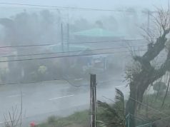
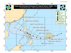
MANILA, Philippines — (UPDATE 4 – 11:41 a.m.) It will be a wet weekend as a slow-moving tropical storm “Gorio” (international name: Nesat) intensified slightly, enhancing the southwest monsoon or “habagat” as it moved north-northwest off the eastern flank of Luzon.
At 3 a.m. Thursday, the center of Gioro was tracked at 595 kilometers east northeast of Casiguran, Aurora or 625 km east of Tuguegarao City, Cagayan with maximum sustained winds of 85 kilometers per hour near the center and gusts of up to 105 kph as it moved north-northwest at 13 kph.
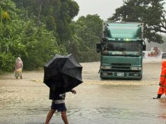
Although the storm is unlikely to make landfall, the Philippine Atmospheric, Geophysical and Astronomical Services Administration warned of possible flashfloods and landslides triggered by monsoon rains in Metro Manila, the Ilocos, Cordillera, Central Luzon and Calabarzon regions, and the Mindoro provinces and Palawan.
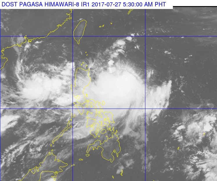
Cloudy skies with light to moderate rains and thunderstorms are expected in the Visayas, the Cagayan Valley and Bicol regions, and Marinduque and Romblon.
Partly cloudy to cloudy skies with isolated rain showers or thunderstorm will prevail over Mindanao.
Gorio is forecast to exit the Philippine area of responsibility Sunday night or Monday morning and the weather is expected to improve by Tuesday.
The forecast heavy rains have prompted the following local government units and schools to suspend classes:
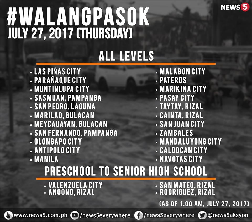

Shortly before noon, Quezon City announced the suspension of classes at all levels.
Earlier in the day, Vice Mayor Joy Belmonte earned criticism for not suspending classes, saying instead that she and Quezon City Disaster Risk Reduction and Management Council action officer Karl Michael Marasigan “agreed that parents must exercise their judgment and prerogative to keep their children home especially those living in more risky areas” because Pagasa’s early morning advisory “predicted rain and thunderstorms until 6 a.m.”
The House of Representatives suspended work starting at noon.
As of 9 a.m. Thursday, the Metro Manila Development Authority said continuous rains had caused flooding in the following areas:
- Quirino Roxas Blvd along Taft Ave – gutter deep
- Quezon City A Bonifacio C3 – gutter deep
- Quezon City A Bonifacio 11th Avenue – gutter deep, passable to all types of vehicles
- Papa both bound – above gutter deep, not passable to light vehicles
- C5 near Market Market southbound – gutter deep, passable to all types of vehicles
- Burgos Victorino eastbound – knee-deep, not passable to light vehicles
- Balintawak Cloverleaf in front of St. Joseph Church northbound – knee-deep, not passable to light vehicles
Here is a list compiled by News5 of areas motorists are advised to avoid because of flooding:
VALENZUELA CITY (as of 10:31AM)
- Mac Arthur Highway
- cor Pio Valenzuela-cor PhilGun
- cor BPI Karuhatan
- cor G.Lazaro
- cor L. San Diego
- cor T.Santiago Veinte Reales
- cor A. Fernando Marulas
- BDO Dalandanan
- A Mabini Arty
- MH Del Pilar 3S Malanday
- G Lazaro Rd
- Savemore Marulas
- Karuhatan Market
- CJ Santos Maysan Road
- EXPO Maysan
- PasoNLEX Puregold going to Petron
- Mariano in front of INC
MANILA (as of 8:44AM)
- Burgos Victorino eastbound
- Papa southbound and northbound
QUEZON CITY (as of 8:44AM)
- Balintawak Cloverleaf infront of St. Joseph Church NB
- C5 near Market Market SB
- Quirino Roxas Blvd. along Taft Ave
- Quezon City A Bonifacio C3 SB/NB
- Quezon City A Binifacio 11th Avenue SB/NB
MAKATI (as of 6:01AM)
- Dela Rosa Street
- Fernando Street
- Taylo Street, Victor Street, Pasong Tamo, Barangay Pio del Pilar
- Barangay San Antonio at Lumbayao cor. Camachille Sampaloc cor. Estrella Street
- Malolos Street, Davila Street, Primo Rivera Street
- Barangay Tejeros District 1
Here’s a News5 video report on the situation along R. Papa in Manila:
(with a report from Philippine News Agency)

