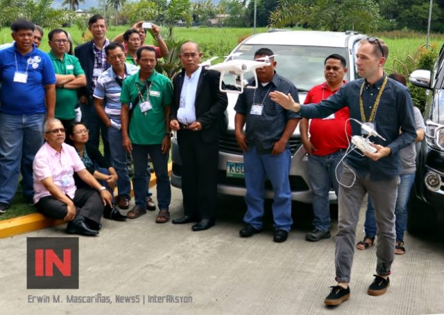
Butuan City – The use of unmanned aerial vehicle (UAV) or commonly known as a drone, was pointed out as an essential tool for environmental protection and conservation during the 2nd Mindanao Protected Area Management Board (PAMB) network conference here, Wednesday, August 30, 2017.
“When it comes to the use of drone technology, we have to say that this is still a rather new technology but one that could really help and support in coming up with a successful protected area management plan,” said Franz-Fabian Bellot, technical advisor for the Deutsche Gesellschaft für Internationale Zusammenarbeit (GIZ), a German cooperation development agency working in Mindanao. “Even though the technology has been available for 5 to 10 years, this haven’t been fully utilized for environmental protection and conservation.”
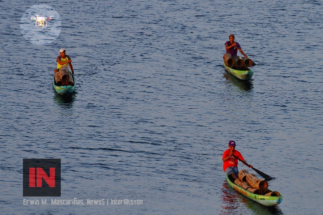
Bellot added: “This technology is very flexible; you can dispatch it anywhere as you don’t need a big space to launch the drone. You can monitor your protected area, go and record the same area over and over again as you like it, and when you want it. You don’t need a piloted aircraft or go to space with a satellite to record the data, you decide whenever you want to record the information you need.”
Bellot elaborated that drone technology is “highly efficient and very cost effective. You don’t need a lot of human resources. One person is sufficient to do the flight plan, conduct the flight, analyze the data, process the data, and so you don’t need a lot of remote sensing and other specialists.
“It is such a simple technology and it does not require a lot of skills to use, anyone can learn it in a couple of days, so you can cut back in your human and resource cost in implementing the project or monitoring the protected area.”
Bellot added that the options for using this technology are “practically unlimited, use it on identifying land cover for land use, you can monitor the changes, identify and document violations, monitor distribution of specie, calculate how much land has been changed, you can perform all these analyses. Use it for community mapping, boundary delineation, and document the strength of certain specie like for example water lily, monitoring of infra structure or erosion control.”
Felix Mirasol Jr, regional director of the Department of Environment and Natural Resources (DENR) Region-IX, said: “There are parts of the protected area that are hard to reach. With the use of drones we can cover a much bigger area with limited personnel. If we have this technology, maybe in one month time we would have covered the entire protected area. So we have now the capability to monitor the area without basically walking through the entire site. We hope it will enhance our monitoring and surely we will make use of this technology.”
Mirasol added that, currently, the technology is used in conjunction with portable tablet computing devices through the LAWIN Forest and Biodiversity Protection System.
“This helps us monitor our personnel, if they are really doing patrol work, the moment they see issues on the ground, they can take photos and immediately upload these to our office. The technology can directly record observations on habitat, wildlife, trees, threats and illegal activities. The use of drones will greatly improve our monitoring and documenting capability,” said Mirasol.
Since 2013, several regional offices of the DENR in Mindanao has expressed interest to the use of drones to monitor illegal logging activities.
Through the GIZ Conflict Sensitive Resource and Asset Management (COSERAM) Program, in partnership with the Philippine Government through local government units and agencies, has been providing advisory services and technical assistance in five core processes: Peace building and development needs; land use planning and resource management; titling and natural resource management in ancestral domains; access to legal aid and paralegal services; rights awareness and conflict transformation mechanisms and the indigenous practices for conservation of biodiversity.


