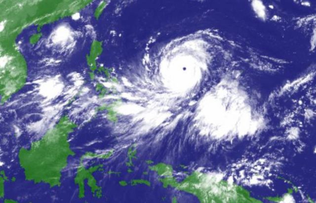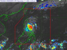
(Updated Sept 13 2:40 p.m) Filipinos are bracing for the worst as Super Typhoon “Mangkhut” as it entered the Philippine Area of Responsibility on Wednesday evening.
The typhoon now with the local name “Ompong” has slowed down to a pace of 20 kilometers per hour with maximum sustained winds of up to 205 kph and gusts of up to 255 kph.
Classified as Super Typhoon status by the US-based Joint Typhoon Warning Center, Ompong was previously expected to enter PAR with maximum sustained winds of 259 kilometers per hour and gust winds of 314 kph.
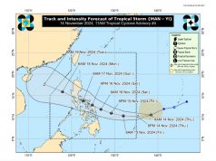
The Philippine Atmospheric, Geophysical and Astronomical Services Administration expects Ompong to make landfall in northern Cagayan on Saturday morning. Ompong is expected to affect northern Luzon the most.
Its outer rain bands are expected to affect central Luzon and Metro Manila.
The state weather bureau raised its Tropical Cyclone Signal No. 1 warning in the following areas:
- Abra
- Albay
- Apayao
- Aurora
- Batanes
- Benguet
- Bulacan
- Burias Island
- Cagayan, including Babuyan group of Islands
- Camarines Sur
- Camarines Norte
- Catanduanes
- Ifugao
- Isabela
- Kalinga
- Laguna
- Mountain Province
- Nueva Ecija
- Nueva Vizcaya
- Quezon, including Polillo Island
- Quirino
- Rizal
- Sorsogon
- Ticao Island
The affected areas will experience occasional rains and gusty winds of up to 30 to 60 kilometers per hour in the following days.
Ompong was spotted 725 kilometers east of Virac, Catanduanes on Thursday morning.
Ompong will be the strongest typhoon to hit the country so far in 2018, said Department of Science and Technology Undersecretary Renato Solidum during a press conference.
Citizens and private groups have circulated tips for preparing for the coming deluge in the hours leading up to the expected landfall.
Headsup to all my Filipino mutuals if you're living in low lying areas in Luzon and Visayas. (Also if there are any Taiwanese fanyus, headsup, you'll probably be hit too.) Ompong is coming and he's BIG. https://t.co/NyqHbT2yDY
— ?rain?
?? (@hyperbiellmann) September 12, 2018
#Typhoon #Mangkhut or #Ompong has intensified into a #supertyphoon and is expected to enter the #Philippines area of responsibility today. Be safe! Keep updated by following legitimate social media accounts. #RescuePH #SafeNow #ReliefPH #FloodPH #WalangPasok #BePreparedPH pic.twitter.com/7BHkZucovy
— Save the Children PH (@SaveChildrenPH) September 12, 2018
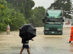
PAGASA warned local government units that the expected intense rains may cause landslides and flash floods in the affected areas.
The National Disaster Risk Reduction and Management Council raised its red alert warning at 8 a.m on Wednesday to signal all other concerned agencies to prepare for Mangkhut’s arrival. It asked residents to cooperate in possible evacuation efforts.
Classes in Bauang, La Union and Mexico, Pampanga and Quezon City were suspended ahead of the expected time of landfall.
NDRRMC stated that it is overseeing “Yolanda-level” preparations for Mangkhut.
Typhoon Yolanda, known internationally as “Haiyan,” caused more than 6,000 fatalities and almost P90 billion worth of damages when it battered the Visayas and Mindanao region in November 2013.
The country’s economic managers have blamed the monsoon rains and earlier typhoons in 2018 to have caused substantial agricultural damage, halting supply and triggering the sudden hike in food prices.


