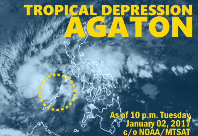
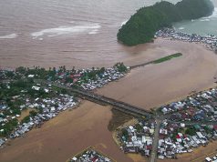
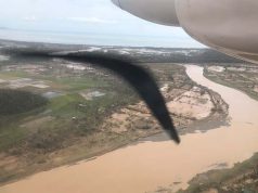
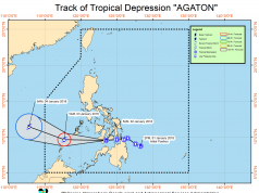
In its Severe Weather Bulletin #11 for Tropical Depression #AgatonPH, the state weather bureau PAGASA (Philippine Atmospheric, Geophysical and Astronomical Services Administration) declared that the weather disturbance has made landfall near Aborlan in the province of Palawan.
Tropical Cyclone Warning Signal (TCWS) #1 is hoisted over Palawan.
Pagasa said moderate to heavy rains is expected over the areas with TCWS#1, as well as Bicol Region, Samar provinces, Southern Quezon, Panay Island and the rest of MIMAROPA.
Sea travel is risky over the areas under TCWS #1 and the seaboards of Northern Luzon and Southern Luzon, eastern seaboard of Central Luzon, eastern and western seaboards of Visayas, and eastern seaboard of Mindanao due to the surge of Northeast Monsoon and TD #AgatonPH.

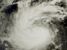
(Above) Satellite storm tracking by NOAA/MTSAT. Animated loop will commence playing once all component still images have been sequenced.
At 10:00 p.m. the center of Tropical Depression #AgatonPH was estimated at 40 km South of Puerto Princesa City, Palawan (09.4°N, 118.7°E), packing top winds of up to 55 kph near the center and gusts of up to 75 kph and forecast to move West at 30 kph.
On Wednesday evening, #AgatonPH is expected to be 165 km Northwest of Pagasa Island, Palawan (12.0°N, 113.0°E).
The public and the disaster risk reduction and management council concerned are advised to take appropriate actions and watch for the next Severe Weather Bulletin to be issued at 5 a.m. Wednesday.

