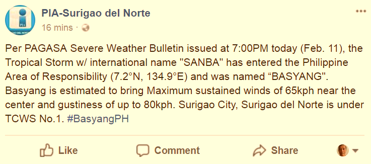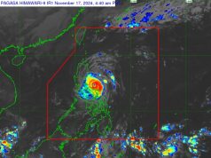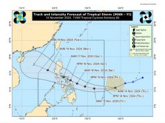
(Above) Storm tracking of #BasyangPH rendered in an animated loop. Please allow time for component images to download completely. The loop will auto-play, and is constantly updated with fresh data every 30 minutes.
Please feel free to bookmark and revisit –> the link to this image above from time to time over the next few days to follow the storm’s progress via the animation loop.
(UPDATE – 12 MIDNIGHT) The state weather bureau Philippine Atmospheric, Geophysical and Astronomical Services Administration, or PAGASA, at 7:00 p.m. Sunday disclosed that the weather disturbance internationally designated SANBA had entered the Philippine Area of Responsibility, and is now locally named Tropical Storm #BasyangPH.
Public Storm Warning Signal No. 1 has been hoisted at the following places, as of 11 p.m. Sunday evening: Dinagat Islands, Surigao del Norte, Surigao del Sur, Agusan del Norte, Agusan del Sur, Camiguin, Compostela Valley, Davao Oriental, Davao del Norte, Misamis Oriental, and Bukidnon.
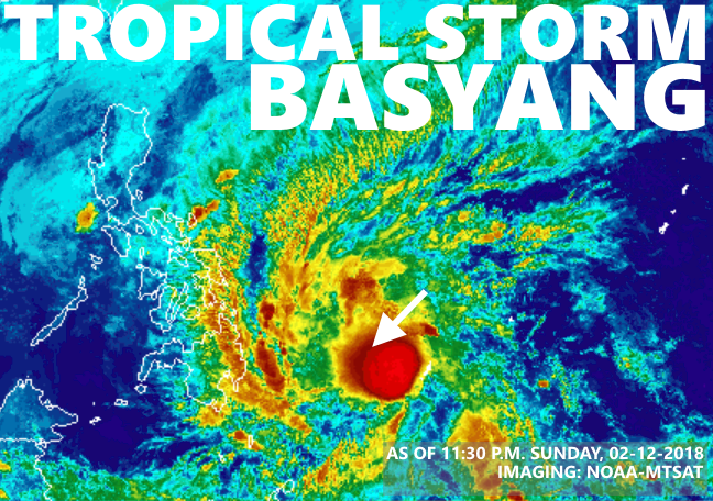
At 10:00 p.m., the center of the storm was estimated at 870 km East of Hinatuan, Surigao del Sur (coordinates 07.1°N, 134.1°E), with top winds of up to 65 kph near the center and gusts of up to 80 kph.
Forecast movement is west-northwest at 27 kph.
By Monday evening, the storm is expected to be 265 km East of Hinatuan, Surigao del Sur (8.8°N, 128.7°E).
