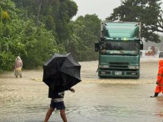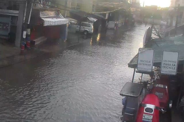
Hours after Typhoon “Karding” weakened and Tropical Cyclone Wind Signals No. 5 and 4 were lifted, some areas in Metro Manila remained flooded.
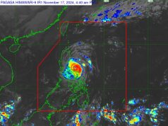
In its 5 a.m. weather bulletin, Philippine Atmospheric, Geophysical and Astronomical Services Administration said Karding emerges over the coastal waters of Northern Zambales.
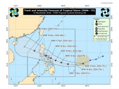
The center of the typhoon’s eye was last estimated over the waters of Santa Cruz, Zambales (15.7°N, 119.5°E) based on all available data.
It packs maximum sustained winds of 140 kilometer per hour near the center, gustiness of up to 170 km/h, and central pressure of 970 hPa.
Karding caused heavy rains and strong winds on Sunday leaving some areas flooded.
As of 5:22 a.m., Metro Manila Development Authority said SM Marikina underloop heading to CB is still flooded and is not passable to all type of vehicles.
FLOOD ALERT: As of 5:22 AM at SM Marikina underloop going C5. Not passable to all type of vehicles. MMDA enforcer on site. #mmda
— Official MMDA (@MMDA) September 25, 2022
On the other hand, in an advisory at 6:10 a.m., Valenzuela City said there are no monitored flooded areas in the following national roads:
- MacArthur Highway
- Maysan to Bagbaguin Road
The following areas in Valenzuela City are still flooded but are passable to all types of vehicles:
- Arkong Bato – 2 to inches
- Urrutia St., Arkong Bato – 2 to 3 inches
- Risen Lord, Veinte Reales – Subsided
- Dalandanan Market – 3 to 4 inches
- Cor G. Lazaro, VCEH – 3 to 4 inches
Meanwhile, as of 6 a.m. San Mateo, Rizal Public Information informed the public of the water level in W.L. Batasan Bridge.


