


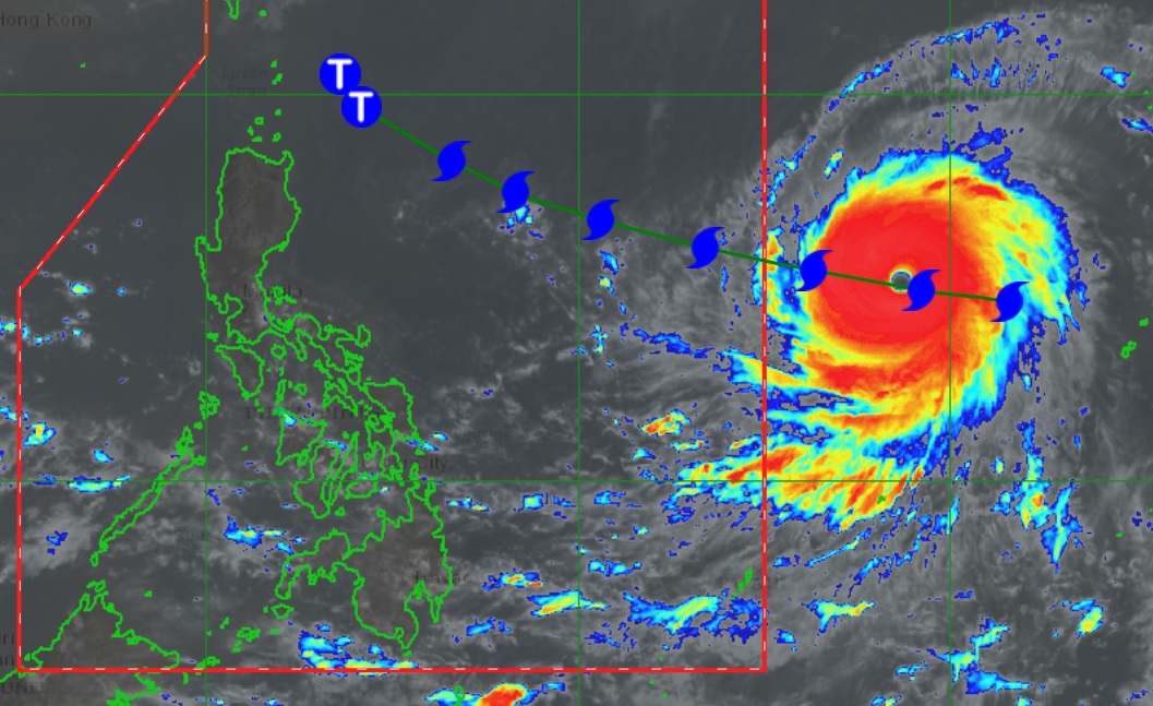
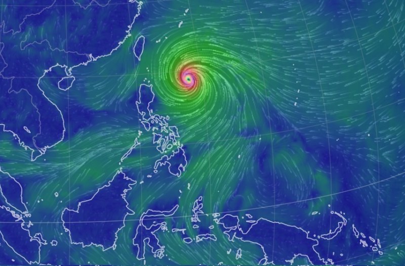
Super Typhoon Mawar, which will be called Super Typhoon Betty once within the Philippine area of responsibility later Friday, is moving west-northwestward toward the northernmost tip of the country this weekend.
While its wide span of 550 kilometers is likely to cause heavy downpour across Northern Luzon and enhance the southwest monsoon to affect the rest of Luzon, it is not expected to directly hit land in the Philippines.
Based on state weather bureau PAGASA’s advisory Friday morning, here’s the forecast for the following days based on Betty’s track.
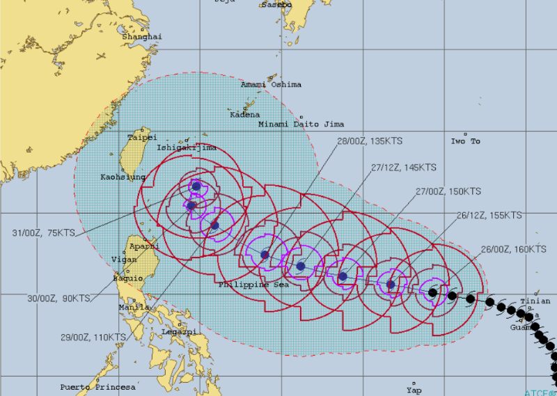
Friday, May 26, 2023
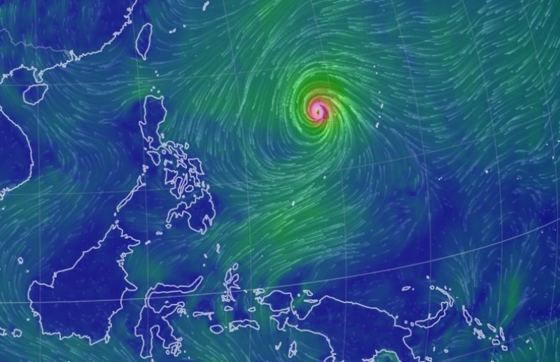
- Mawar retains its “super typhoon” strength with maximum sustained winds near the center at 215 kilometers per hour (kph) and gusts of up to 260 kph.
- It is moving west at a speed of 20 kph.
Saturday, May 27, 2023
- Now named Betty, the super typhoon enters the Philippine area of responsibility between late Friday night and early morning on Saturday.
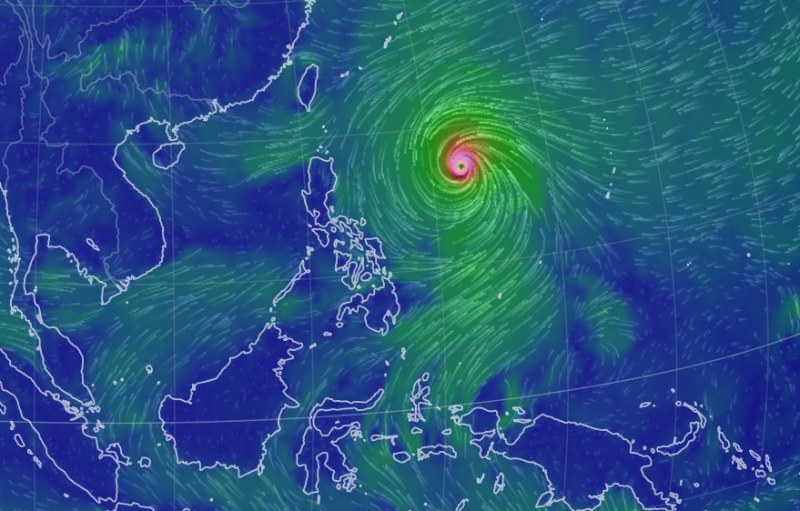
- It continues to move west-northwestward, accelerating before turning northwestward on Sunday.
- After reaching its peak intensity on Saturday morning, Betty begins to decelerate in the evening.
- It moves closer to the waters east of Extreme Northern Luzon and within 250 kilometers of the Batanes-Babuyan archipelago.
Sunday, May 28, 2023
- Betty continues to weaken but remains a powerful super typhoon due to unfavorable conditions such as wind shear, cooler sea surface temperatures resulting from its slowdown and dry air intrusion.
- It brings heavy rains to Northern Luzon late Sunday, possibly triggering flooding or rain-induced landslides.
- Wind signals may be raised in preparation for severe winds.
Monday, May 29, 2023
- Heavy rains and strong winds across Northern Luzon persist despite the typhoon decreasing in intensity.
RELATED: Most of Guam without power, water after Typhoon Mawar exits | Guam weathers Category 4 super typhoon ‘Mawar’ without major damage


