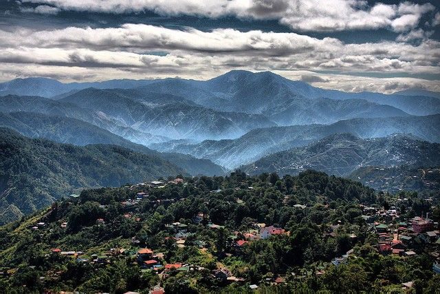
The unusual chilly weather in Metro Manila and in other parts of the country made some Filipinos feel as if they were in the summer capital, Baguio.
Baguio City, meanwhile, experiences a low 9.8 degrees Celsius, according to the latest forecast of the Philippine Atmospheric Geophysical Astronomical Services Administration or Pagasa.
Is Bicol the new Baguio? Boi im telling u, u can never go out without sweater
— hijo (@dionncarlborja) January 27, 2019
Lucban is the Baguio city of the south ❄️💨
— jandi (@JandiPlacino) January 27, 2019
Filipinos living in Metro Manila and some provinces around Cagayan Valley and Central Luzon who normally experience humid weather conditions welcomed the change.
I thought I will not experience a winter but Philippines seems experiencing winter solstice now. Very cold weather. I hope that this summer would not be extreme as well.
— yohan yohan (@yohanayohanIV) January 28, 2019
The state weather bureau announced on January 30 that the cool weather will last until February due to the surge of the cold northeast monsoon or “amihan” winds.
“There’s still a chance of northeast monsoon surge until February,” said PAGASA’s Ana Liza Solis of the climate monitoring and prediction section.
Solis said that the temperature in Metro Manila may still dip to 18.4 degrees Celsius. So far, the lowest recorded temperature in Manila this year is at 19 degrees Celsius at PAGASA’s Science Garden in Quezon City last January 18.
Why is it this cold?
Temperatures in isolated places in the country have been falling since the start of the “amihan” season last October 2018.
The frigid weather may be attributed to the weaker southwest monsoon or “habagat” before the arrival of the cold “amihan” winds.
Last September 2018, Pagasa reported weaker “habagat” winds even if they are still strong enough to scatter rains in certain parts of the country.
“Sa extreme northern Luzon, nakakahila po ‘yung bagyo ng may kalamigan na hangin, dahil nga doon sa lokasyon niya. Hindi pa po ito ‘yung amihan dahil hindi pa po dumidiretso doon sa ibang parte ng Pilipinas at Indonesia,” the bureau said.
Monsoon 101
The term monsoon basically refers to a change in the weather’s rain and wind patterns observed across the Indian subcontinent and Southeast Asia.
According to the National Aeronautics and Space Administration, these changes are caused by shifts in temperatures between the land and the ocean.
In Asia, there are two types of monsoons, the summer or dry monsoon and the cold or winter monsoon.
“Between April and September, warm land temperatures drive pressure patterns and winds that draw in moist air from the Indian Ocean, producing heavy rainfall. During the winter months, the winds move in the opposite direction, blowing cool air over land toward the ocean, leading to very dry conditions,” the article from NASA explained.
In the Philippines, the northeast monsoon which forms over Siberia, Mongolia and Northern China causes the drop in temperatures from November to February.
Meanwhile, the southwest monsoon is a wind pattern that comes from the southwest of the country. It strengthens the rainfall from typhoons from June to October.
There are other types of this weather phenomenon in other parts of the world, according to an article from the National Geographic.
The Asian-Australian monsoon, wherein the wind system stretches from Australia to the Indian coast of Africa.
Another one is the North American monsoon, wherein the warm moist air only blows once a year in the middle of summer from the Gulf of California to the states of Arizona, New Mexico and Texas.


